कार्टोग्राफिक रिकॉर्ड्स
National Archives of India has in its custody substantial number of cartographic records acquired from Survey of India. They are categorized as Historical Maps, Forest Maps, Revenue Maps and Printed and Published maps All these cartographic records are accessible as per provisions contained in the Public Records Rules, 1997.
For searching cartographic records as listed below, please visit www.Abhilekh-Patal.in or the Cartography section on completion of registration procedures.
| Sl. No. | Name of the document and its introduction in one line |
|---|---|
|
|
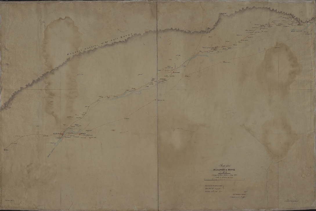
Survey of India - Historical Maps (1700-1900) - Series contains the maps related to various parts of India and thirty neighboring / other countries. |
|
|
Survey of India - Printed and Published Maps (1755-1980) - These maps are printed and published and contain Maps and Atlases of India and other parts of the World. |
|
|
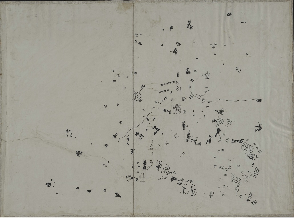
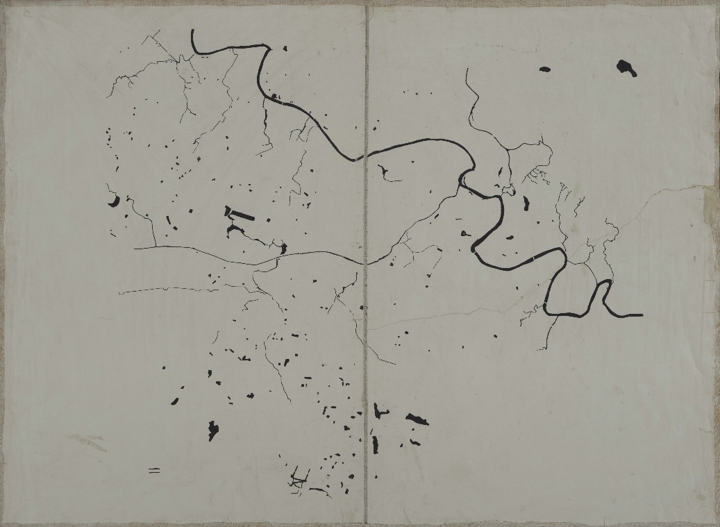
Survey of India (MRIO) Miscellaneous (1742-1872) - The series contains specimen of almost every type of symbols used and survey techniques in vogue at that time. |
|
|
Survey of India - Forest Maps (1875-1977) - These maps are related to the various Indian forests. |
|
|
Survey of India – Dehradun Volumes (1786-1894) - Relate to the Surveys done by Survey of India. |
|
|
Survey of India - Memoirs (1773-1866) - This collection is an admixture of Field Books, Journals, Registers, Reports and records on routes. |
|
|
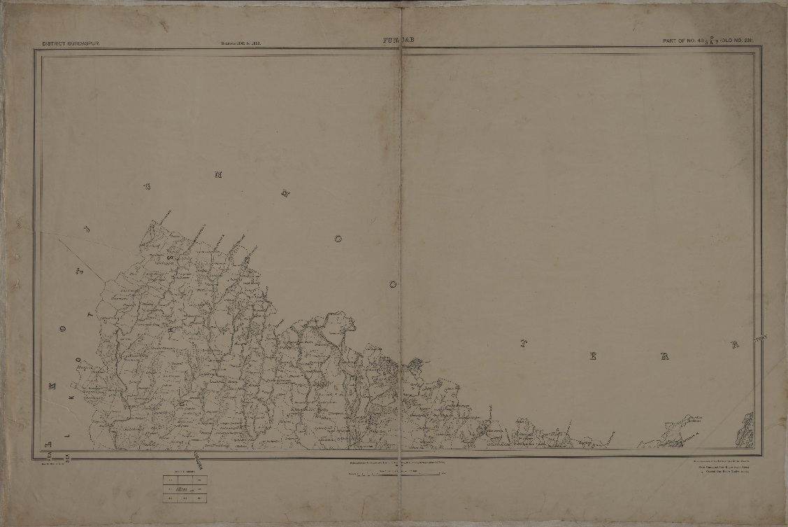
Survey of India Revenue Maps (1822-1905) - Maps relate to villages of India |
|
|
Survey of India - Revenue Maps (Miscellaneous) (1801-1901) - Maps relate to villages of India. |


